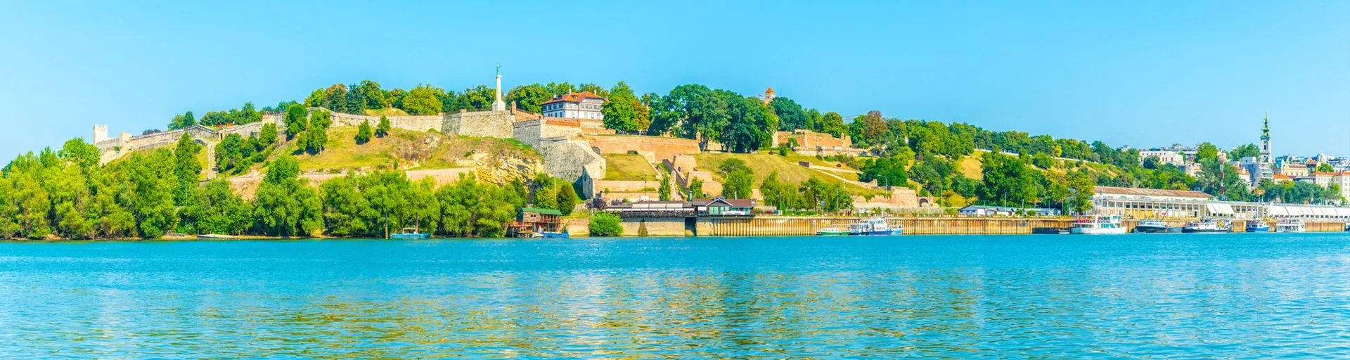
The Sava is about 1000 km long. In Roman times, it was known as the Savus. It is often considered to mark the northern limit of the Balkans. The Sava has two main sources, both located in the alpine region of north-western Slovenia. The two arms of the Sava meet at Radovljica and the river takes the name Sava from this point. It is the border between Bosnia and Croatia. The navigation takes place across the plain of Vojvodina, a real bread-basket of Serbia with its mosaic of nationalities.
MANAGE YOUR COOKIE PREFERENCES
Some of the features of this website (sharing content on social media, playing videos) use resources from third party websites. These features use cookies in order to, amongst other, let third party websites trace your nagivation. These cookies will only be saved with your permission. You can find out more about the cookies used, accept or reject them. These actions can be carried out overall for the entire website and all the services, or for each service individually.
PREFERENCES FOR ALL YOUR SERVICES
Social networks
Social networks improve the user-friendliness of the website and help promoting it by sharing its content.
Statistics
The statistic data collected help improve the services and features that we provide for you, to offer targetted products and services, tailored to your interests.
MANAGE YOUR COOKIE PREFERENCES
Cookies are mandatory for this step. They trace each step in the purchasing process, and detect any technical issues.
Statistics
The statistic data collected help improve the services and features that we provide for you, to offer targetted products and services, tailored to your interests.